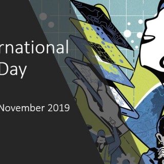
International GIS Day
- GIS Written by Lisa AndersonOn the 13th of November 2019, OPEN participated in the international celebration of everything GIS. Geographical Information Systems (GIS) provide a framework for collecting, organising, analysing and visualising all different types of spatial information, so that we can make better decisions. OPEN have enjoyed the benefits of GIS from the very beginning, incorporating GIS into a wide range of landscape, masterplan and urban design projects. The GIS team have a wealth of experience working in both the public and private sectors, providing support to a range of clients from renewable energy developers, housing developers, architects, local authorities and statutory agencies, providing expertise in cartography, geospatial data management, spatial analysis and 3D visualisation.
The team at OPEN celebrated 10 years of GIS use by hosting a drop-in workshop for all colleagues to discuss how we currently use GIS and what we could do with it in the future. It was a chance for everyone to share their views and explore new opportunities and ideas. It was an opportunity to get creative, inspire new users, solve problems and identify where the use of GIS could make a real difference to project work, as well as the chance to enjoy some tea and cake with colleagues.
Happy GIS Day!