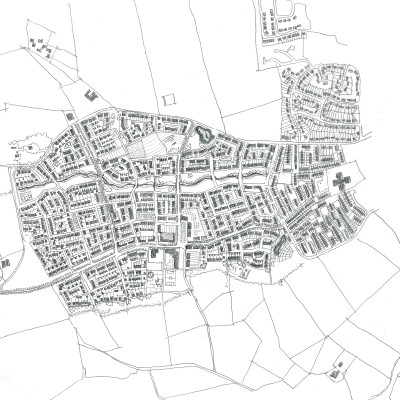
Newhills : Greenferns Landward
Greenferns Landward is part of the Newhills Expansion Area, a major urban expansion area on the western edge of Aberdeen City. It is one of the most significant expansion areas for Aberdeen in the next 20 years. Strategically, the Newhills area will form a new western boundary to the city and benefits from excellent connections via the AWPR and the A96(T) both into the city and outward to the surrounding area.

OPEN were commissioned by Aberdeen City Council (ACC) to develop an appraisal of the site at Greenferns Landward identified as OP31 within the Aberdeen Local Development Plan (ALDP)(2012). Relevant baseline information on the site was gathered to ascertain the main opportunities and constraints within the site. Key infrastructure and environmental issues are identified and a development approach is illustrated with an associated initial design response.

The site at Greenferns Landward has the opportunity to develop as a unique and distinctive Aberdeen neighbourhood that takes advantage of proximity to established communities whilst forming its own identity within the wider Newhills development area. It benefits from being adjacent or close to several landscape resources such as Burnbrae Moss, Brimmond Hill and Craibstone Estate, which create a characterful setting and offer opportunities for recreational access. Positioned on the edge of the city, with clear visual connections to the bounding hills of the Tyrebagger and Fernhill, the site has the potential to be a very specific countryside edge neighbourhood which creates a distinctive settlement boundary rather than a standard suburban response.

OS Mapping © Crown copyright, Aberdeen City Council 100023401 (2012). Aerial imagery © Google 2012